GSHHG Earth Mask
The available resolutions for this grid are:
"01d", "30m", "20m", "15m", "10m", "06m", "05m", "04m", "03m", "02m", "01m", "30s", "15s", "03s", "01s". Where the suffixd,mandsstand for arc-degrees, arc-minutes, and arc-seconds. See also the manual of remotegrid for information about the grid registrations.
On first usage, the grids are downloaded to the user ./gmt/server/... directory. On later usages, the grid(s) are loaded from that local directory.
Refer to earth_mask for more details about technical detail, available resolutions, sizes, version information and references.
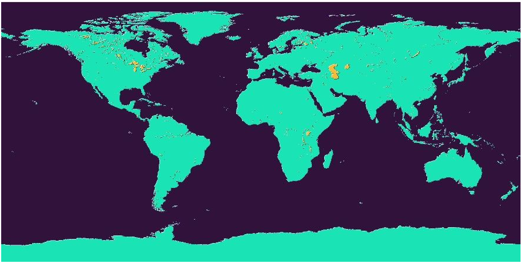
Example
G = gmtread(remotegrid("earth_mask", res="10m"))
viz(G)
Grids with resolutions higher than 06m are tilled to avoid download the entire dataset, which can be very big, when only a sub-region is needed. For example, this downloads a sub-region of the 1m (one arc-minute) and visualizes it.
G = grdcut(remotegrid("mask", res="1m"), region=(0,10,40, 50))
viz(G)These docs were autogenerated using GMT: v1.33.1